SOURCE-CHECKED · EVERYDAY TECH
Import a GPX track into Organic Maps without confusing it with turn-by-turn directions
Bring a shared GPX file into free Organic Maps, find its tracks and bookmarks, and understand why a drawn line and a newly calculated route can differ.
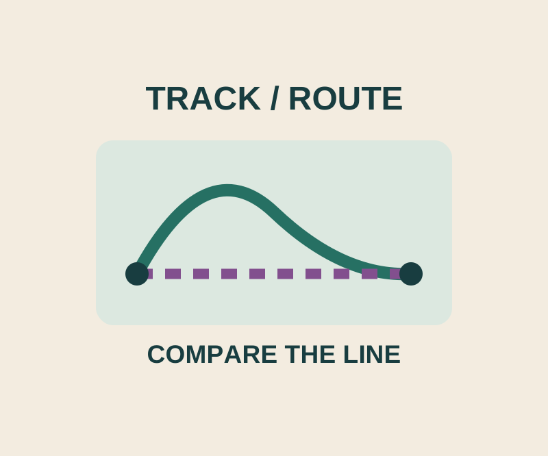
The free Organic Maps app can import a shared GPX track so you can see its line on the map. That line is different from the route the app calculates when you choose a destination and tap Route to. The app supports GPX tracks and bookmarks on Android and iOS, with offline search and navigation on downloaded maps. Organic Maps
Import the GPX file
Find the downloaded or shared GPX file in your files, email, or cloud storage. Tap or press and hold it, then choose Open with Organic Maps on Android. On iOS, use the share icon and choose Import with Organic Maps. The import guide says the app displays “Bookmarks loaded successfully” and places the contents on the map and in Bookmarks and Tracks.
A track and a calculated route
Suppose a friend shares a walking loop: Gate → Pond → Bridge → Gate. Its track line records the planned detour past the pond. If you select Bridge and tap Route to, you are asking Organic Maps to calculate a route to Bridge using the mode you select. Compare that route with the imported line if the detour matters; do not assume they will have the same shape. The route guide lists Car, Pedestrian, Subway, Bike, and Ruler modes. After checking the calculated route, tap Start to navigate. A route from a different starting point is a preview; navigation starts from your current location.
If you see pins but no line
Check what the GPX file contains. In the GPX 1.1 specification, <wpt> represents a waypoint, while <trk> contains track segments (<trkseg>) with ordered track points (<trkpt>). Two waypoints named Gate and Bridge describe two separate points. A track with multiple track points describes a line. One GPX file can contain both. If the file contains only waypoints, ask the sender for the version with the track.
Inspect two GPX files with different contents
The pins-only GPX contains two waypoints, Demo Gate and Demo Bridge, and no track. The pins-and-track GPX contains the same two waypoints plus one track segment with four ordered points. Both are original demonstration files, checked against the GPX 1.1 schema. Their coordinates are artificial points near latitude 0, longitude 0, in the ocean. Use them to inspect file contents, never for navigation.
Download both files and open them in a text editor to compare them. Search for <wpt in each: both have two waypoint entries. Then search for <trk>: only the second file has one. Its four <trkpt entries go from (0, 0) to (0.01, 0), to (0.01, 0.01), and back to (0, 0), where each pair is latitude, longitude. The last point closes the triangular line. The first file has no corresponding line to recover.
This gives you a concrete question to ask about a real shared file: does it contain a track, or just destination pins? If a friend meant to share a detour, ask for their track export when you receive only waypoints. A valid GPX file establishes its structure; it does not establish a usable path on the ground.
Source note: These steps come from the linked documentation and GPX specification, checked October 16, 2026 KST. The two demonstration files were validated as GPX 1.1 XML; no phone import or app behavior was independently tested.
KEEP GOING
More to explore.
SOURCE-CHECKEDEveryday tech
How to schedule Windows 11 Night light and check an orange screen
Schedule warmer display colors and use one fixed reference image to investigate an unexpected tint.

TESTEDEveryday tech
Open an RTF file after WordPad disappears, and keep its formatting
A small book club RTF, its converted DOCX and a PDF reference show what to preserve when opening an old rich-text document.