SOURCE-CHECKED · EVERYDAY TECH
Download Apple Maps offline: make sure the whole route fits
Download Apple Maps offline regions and check the entire route, including bends and access roads. A coverage diagram explains why both endpoints can still fit badly.
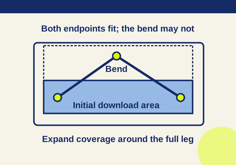
An offline map is a downloaded area. Before a trip, check whether that area covers every leg you intend to travel, including bends, access roads and detours. Apple Maps supports offline maps on iOS 17 and later in selected areas. Available directions and place details vary by region. Apple’s offline Maps instructions
Download an area
- While connected, open Maps and find a place in the area you need. If its location card offers Download, tap it. You can also tap your profile picture or initials, open Offline Maps, and tap the Add (+) button in the iOS 26 guide. Labels may differ by iOS version. Apple’s offline Maps instructions, iPhone User Guide
- Adjust the selection rectangle to include the area you plan to use. Maps shows an estimated download size as you select it. Tap Download.
- Open Offline Maps and confirm that the completed map appears in the list before relying on it. You can use the saved region’s controls later to rename, resize, or delete it. iPhone User Guide
A downloaded region, a place found in search, and a route between places are three different things. Finding your destination inside the rectangle does not establish that every road or path to it stays there.
Check the route’s shape
Imagine a rectangular download area spanning x-coordinates 10 to 90 and y-coordinates 40 to 80 in a synthetic grid. A route starts at (20, 60) and ends at (80, 60), so both endpoints are inside. But its illustrated path passes through (50, 10), outside the rectangle. Expanding the rectangle upward to y = 5 includes every point of that illustrated path.
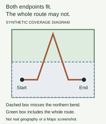
The diagram uses a synthetic grid rather than geographic coordinates. Its route points and rectangle bounds were checked directly; no Apple Maps route was tested. Its practical lesson is to inspect the whole route line while you are online. Roads can bend around an obstacle or take an approach that is far from the straight line between two pins. Check each desired leg, along with access points and any detour you specifically intend to use, before sizing the offline area.
A compact region may be enough for a local walk if the entire walk and its access points fit inside it. For a longer drive, plan coverage around the travel corridor and its bends. Do not size the map solely around the destination.
For a trip with several stops, these notes make the coverage check concrete:
- Leg: [actual starting place] → [actual next stop]
- Access points: [parking area, entrance, or station you intend to use]
- Outlying part of the route: [bend, connecting road, or planned detour to inspect]
- Downloaded region: [saved map name covering this leg]
Repeat the leg line for each part of your trip. Use the actual places you intend to visit; a single destination name cannot stand in for a multi-leg route.
Choose one region or several
A wide rectangle can cover a route that wanders away from its endpoints. Several narrower regions may fit separate legs more closely. Maps provides an estimated size during area selection, so you can compare a proposed wide region with the displayed estimates for smaller proposed regions. Adding the smaller estimates gives only a rough comparison; it does not establish the final storage used or any savings where regions overlap. Apple’s offline Maps instructions
Whichever layout you choose, check that the regions cover the desired legs. A gap between two saved areas still matters even if both stops have downloaded maps.
Check what you downloaded
While you still have a connection, open Offline Maps and enable Only Use Offline Maps. Apple says this setting makes Maps use downloaded maps even while connected. Search for a destination, request each intended leg, and inspect the displayed area and route coverage. This checks downloaded-map mode; it is not a test of losing every connection. Turn the setting back to your preferred mode afterward. iPhone User Guide
Offline directions can cover driving, walking, cycling, and transit where available. Do not assume a downloaded area supplies newly changed business hours or live traffic information. If your trip depends on those details, check them while connected. Apple’s offline Maps instructions
Hikes need a separate distinction: Apple says searching for hikes requires an internet connection. Where the feature is available, a saved custom walking route can offer Download Route, which downloads surrounding maps. Check that route’s coverage too. iPhone User Guide: hiking and walking routes
Fix a missing area
- No Download control: Try the other documented entry point: the place card or Profile → Offline Maps → Add (+). Check regional availability as well; a missing control alone does not identify the cause. Apple’s offline Maps instructions
- Download interrupted: Wait until the map appears as completed in the Offline Maps list. Tapping Download is not confirmation that the area is saved.
- A leg falls beyond the boundary: Resize the saved region to include it, then check the full leg again. iPhone User Guide
- A previously saved map is missing: Check Optimize Storage, which Apple says can remove unused offline maps. The iOS 26 guide also says Automatic Updates is on by default. iPhone User Guide
Source scope: The controls and features above come from Apple’s linked documentation. No Apple Maps interface session or navigation test was performed for this article; the diagram illustrates only the stated synthetic route geometry.
KEEP GOING
More to explore.
SOURCE-CHECKEDEveryday tech
iPhone alarm too quiet? Check the right volume control, including iOS 27
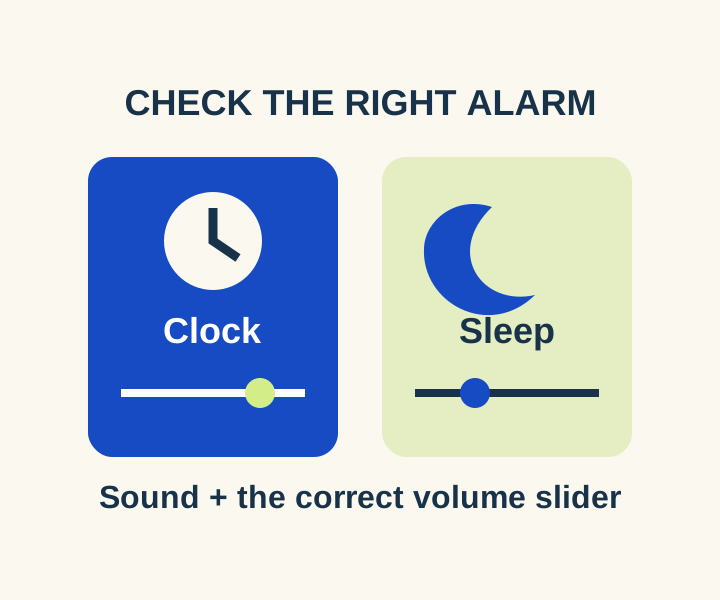
Separate regular Clock volume from Sleep wake-up volume, then compare an audible preview with a timed daytime alarm.
SOURCE-CHECKEDEveryday tech
Link iPhone Notes into a plan you can actually navigate
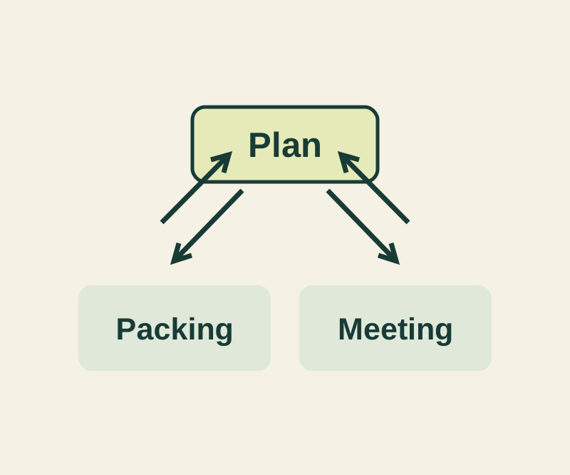
Keep the plan short and the details reachable with a complete three-note example and four deliberate links.